This item is eligible for free shipping
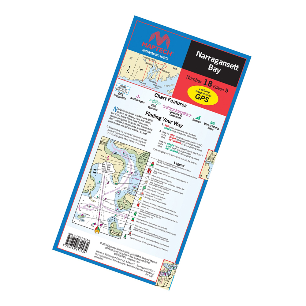
These Maptech Waterproof Nautical Charts cover the regions of Maine through New York and feature waypoints for major buoys and channels, pre-plotted true courses and distances, tidal current vectors, public boat launch locations, and state park information.
Most charts are Harbor to general sailing chart scale with detailed insets where applicable. They have a unique flip-fold design that folds down to a small easy to store and carry size, and opens to show popular cruising areas. Flip through a chart to your favorite area or spread it out to its full width. Great open cockpit companion for all weather.
Measures 24" x 36" when fully opened and 6" x 12" when folded.
Maptech Waterproof Charts are easy to use with your GPS. Most charts include one-minute latitude/longitude grids to make vessel positioning a breeze, and major navigation aids are identified with named GPS waypoints.
Waterproof Charts are printed on high-quality, waterproof, tear-resistant paper. Chart images are crisp and easy-to-read. They can handle just about any conditions you'll find on the water.
Maptech's navigation editors add magnetic courses between major navigation aids with distances in nautical miles. Waterproof Charts are also designed to help you do the calculations yourself. Each page includes a Compass Rose with annual increase in variation and complete scale information.